Drone & Aerial Photography, Napier Hawke’s Bay.
CAA Part 101 Approved
Drone & Aerial Photography Services:
"I am a licensed drone pilot and aerial photographer based in Napier, Hawke's Bay, available for projects across New Zealand. I specialise in farm and rural drone photography, construction site documentation, accommodation aerial imagery, and lifestyle storytelling from above."
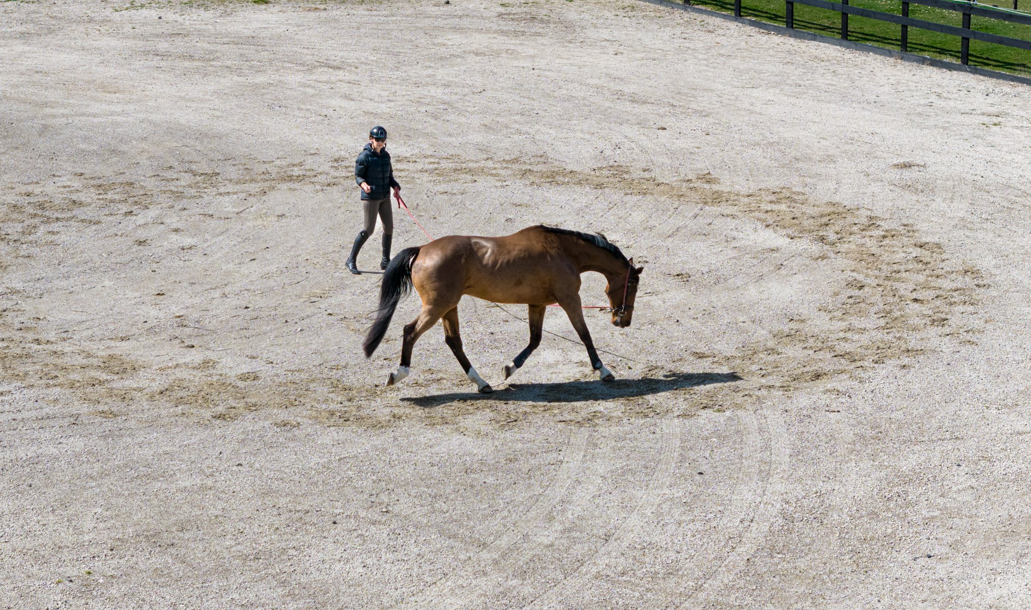
Rural and farm station aerial photography. Capturing land scale, stock and property for listings and documentation.
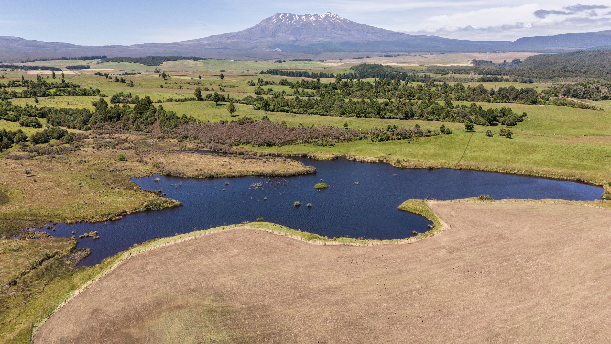
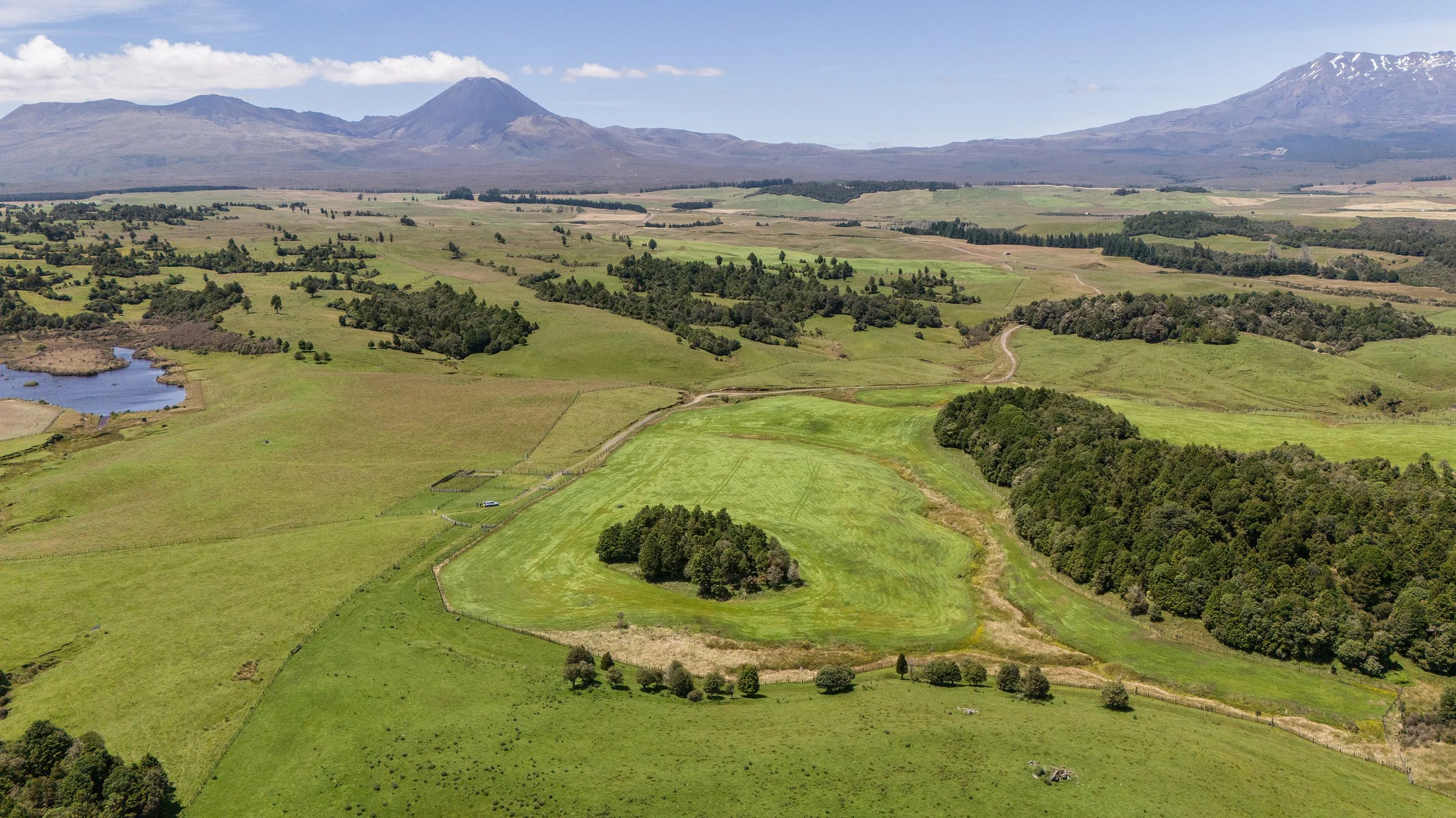
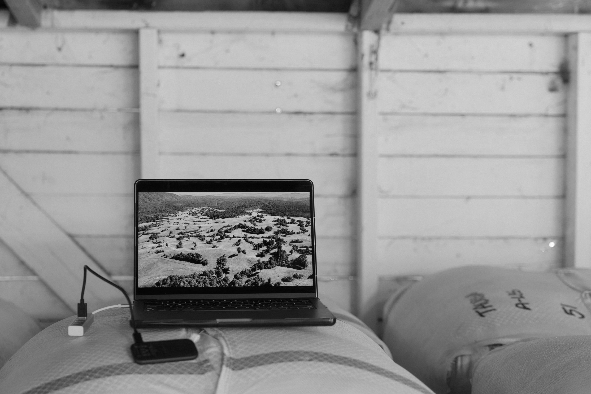
Featured Drone Project: Taurewa Station

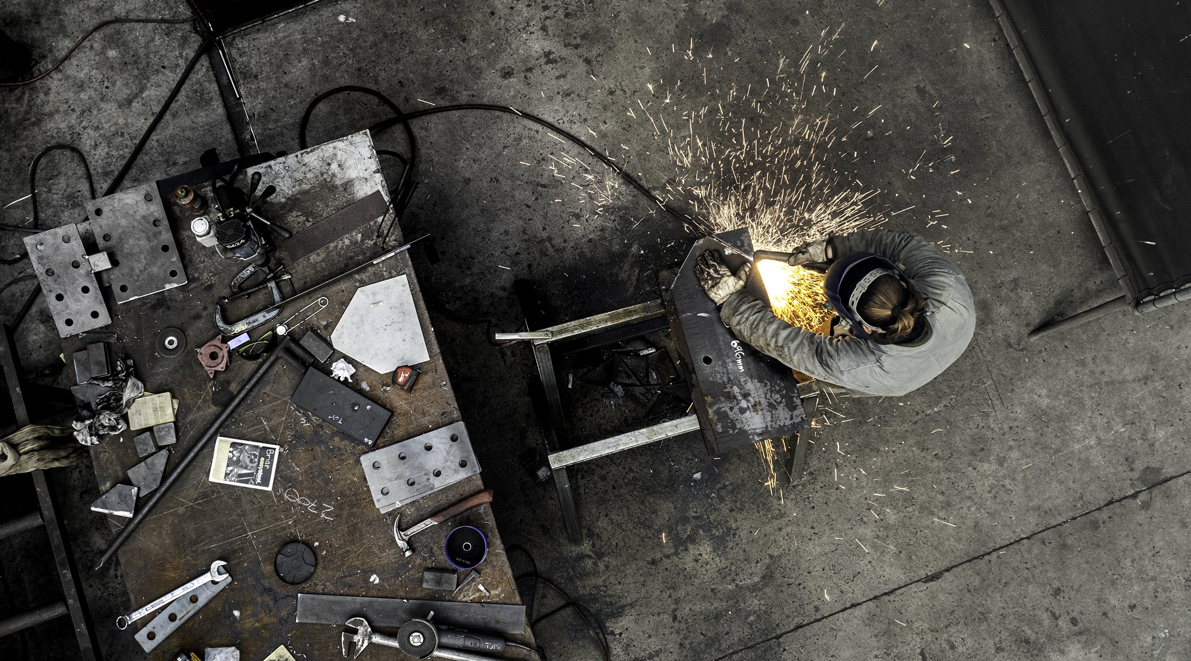
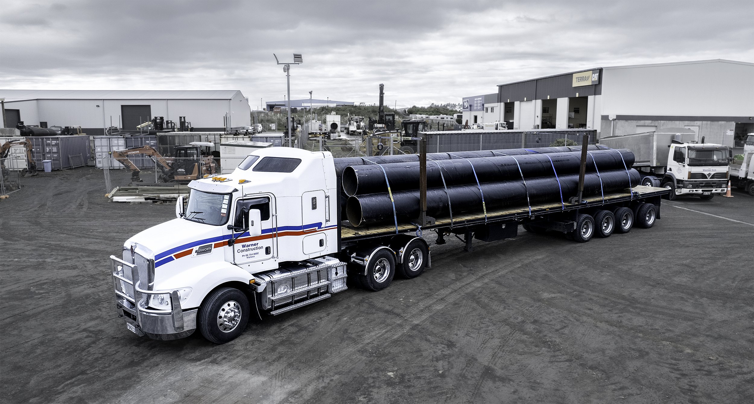
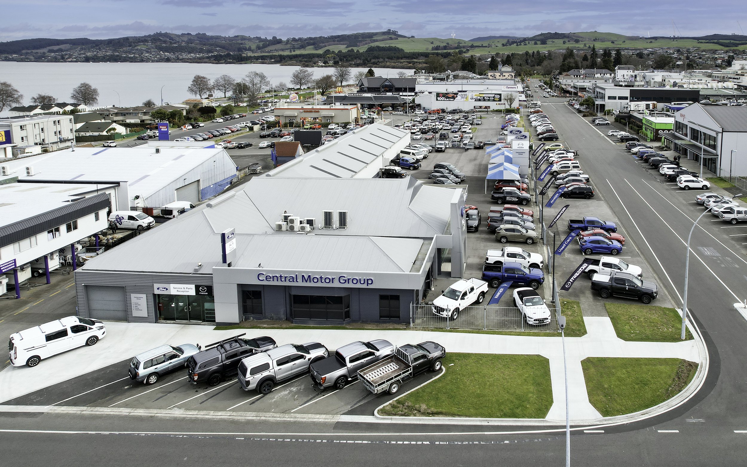
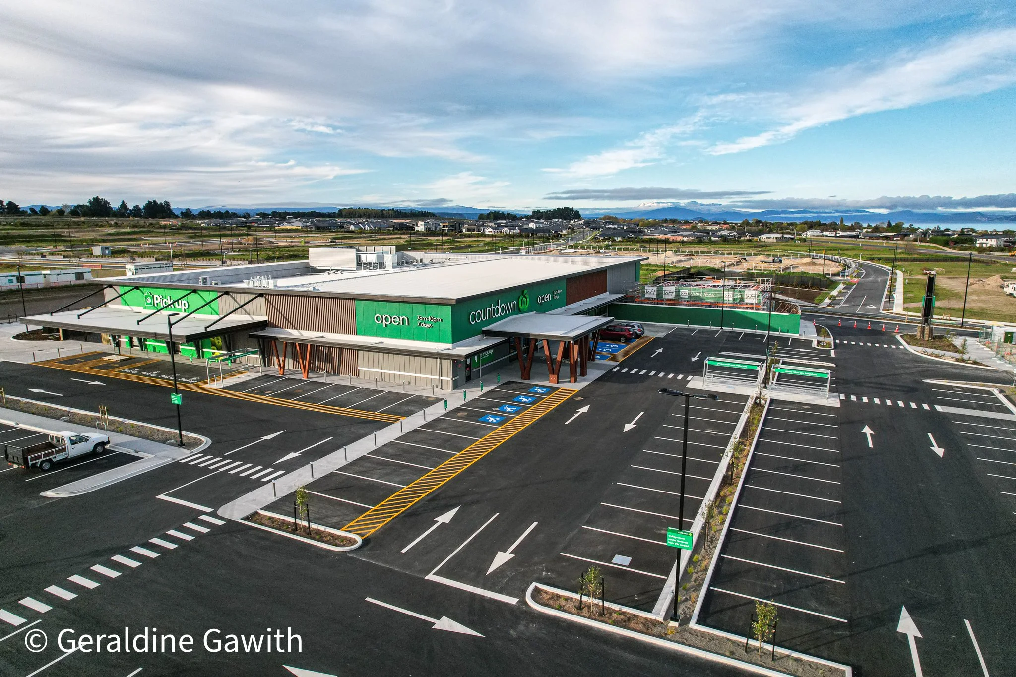
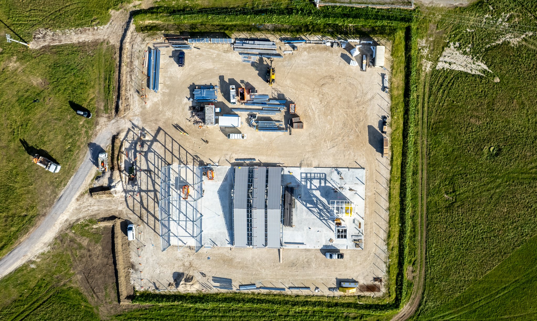
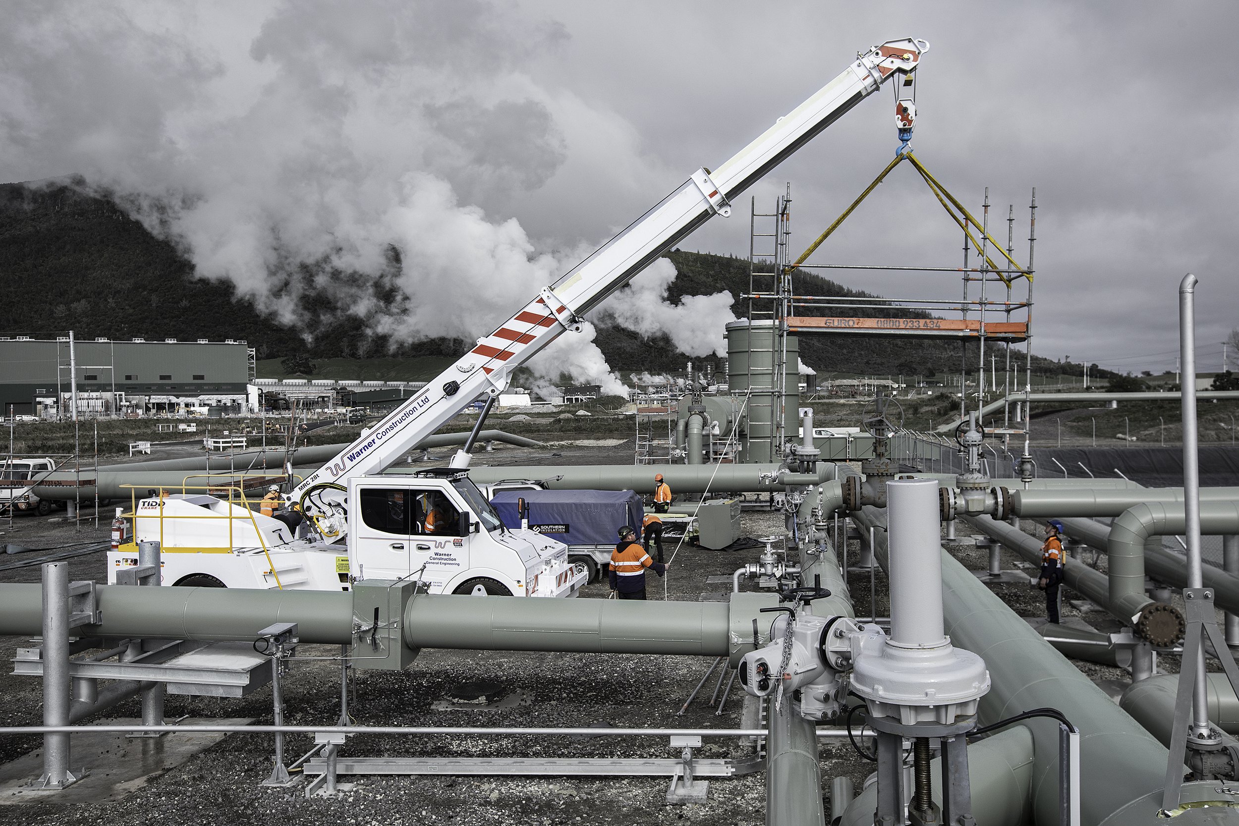
Architectural and construction site documentation - progress reporting amd portfolio imagery from above.
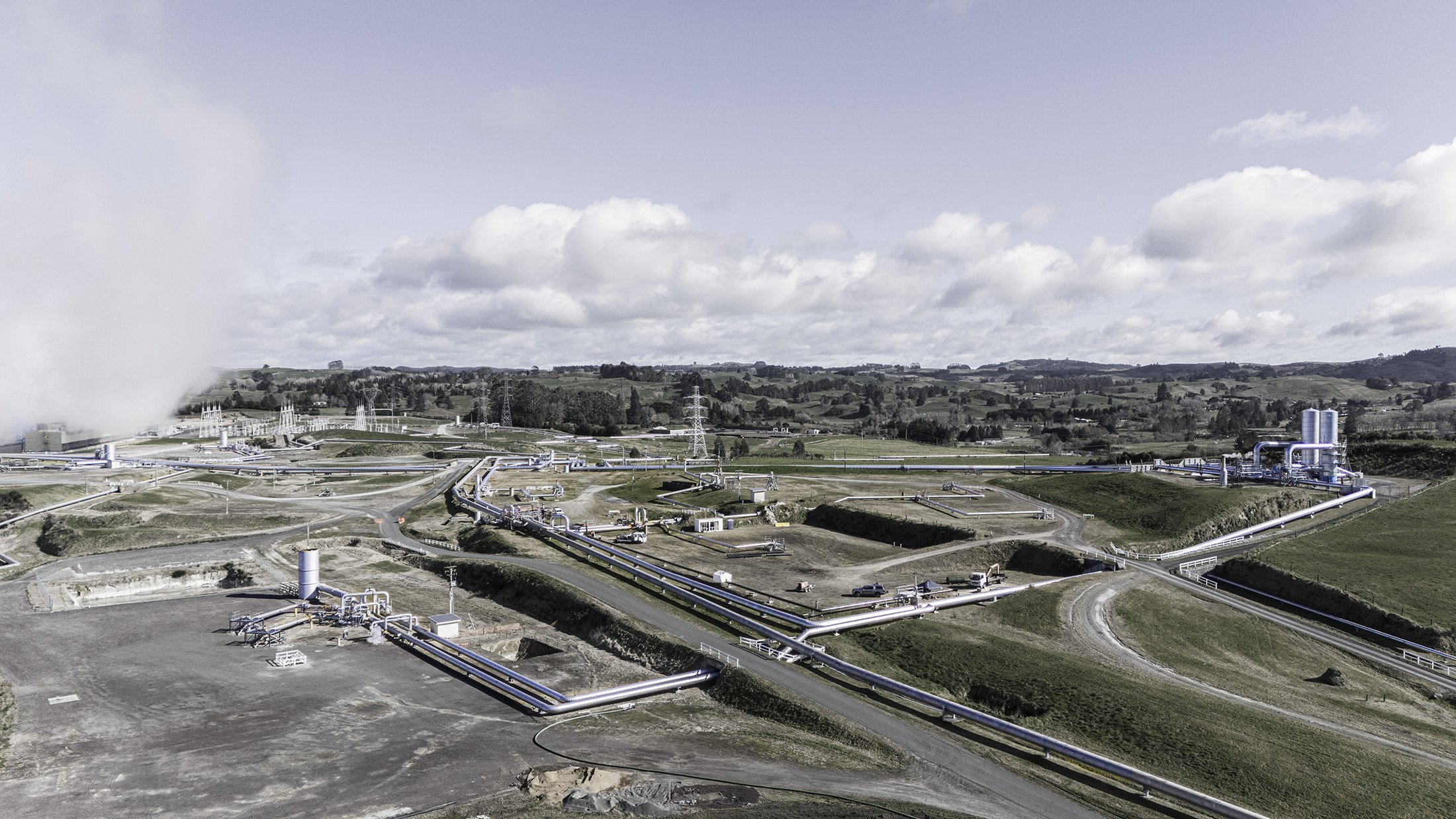
This project is one of the most expansive and technically demanding drone commissions I have undertaken. Taurewa Station sits on the Central Plateau of the North Island — a vast, working farm block spanning more than 3,000 hectares of challenging and diverse terrain, from open tussock flats to rugged hill country.
The brief came from the Taurewa Trust, who required a professional aerial video and photography package to present to their board members — a clear, compelling visual record of the entire operating block and its associated land assets.
My role as drone pilot and videographer was to capture the full scale and character of the station from above, producing an introductory showcase video of the working farm alongside high-resolution aerial stills. Each video segment featured pop-up lot displays, documenting the varied terrain across the property with precision and clarity — giving board members an accurate, visually engaging overview of each parcel of land.
This is exactly where drone work delivers something ground-level photography simply cannot: the ability to communicate scale, landscape context, and land value in a single frame. Rural and agricultural drone commissions of this nature require careful flight planning, an understanding of the land, and the technical skill to navigate complex, elevated terrain safely and professionally.
If you have a farm, rural station, land development, or trust property that requires aerial documentation, video production, or a board-level visual presentation — I'd love to hear about your project.